Explore Tourist Destinations
Select a destination below to view location information, travel details, and top attractions.
Wayanad
Wayanad is a picturesque district in the Western Ghats of northern Kerala, India. Famous for its scenic hills, spice plantations, forests, waterfalls, and biodiversity, it offers a refreshing blend of nature, adventure, history, and local culture. Its cool highland atmosphere and tranquil surroundings make it an appealing destination for leisure travellers, nature enthusiasts, and weekend explorers.
How to reach:
- Nearest Airport: Calicut International Airport; Approx: 65-100km
- Nearest Railway Station: Kozhikode Railway Station; Approx : 100km
- Mysuru Junction; if approaching from Karnataka.
Top Attractions:
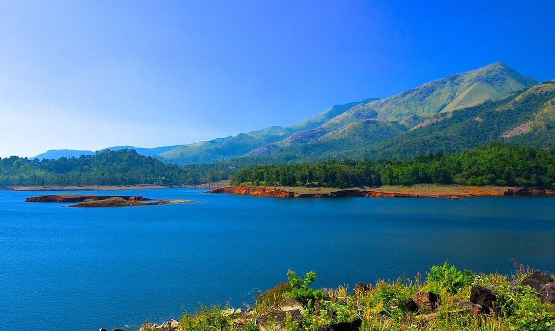
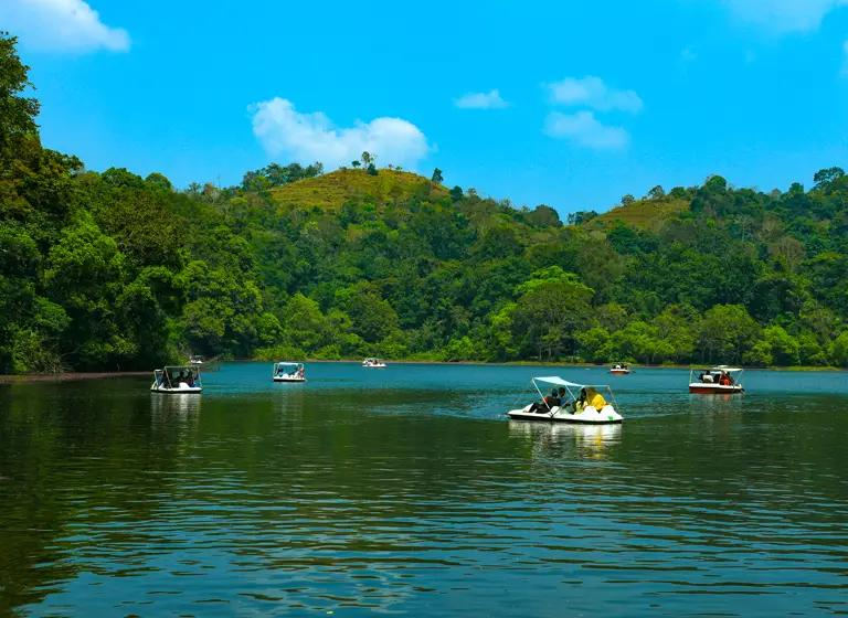
Banasura Sagar Dam
One of Wayanad's signature landmarks, this scenic reservoir is surrounded by rolling hills and offers beautiful views, boating opportunities and photography spots.
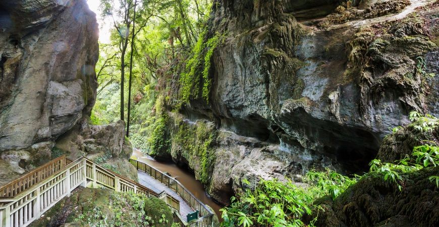
Edakkal Caves
A remarkable archaeological site featuring prehistoric rock engravings. Visitors can explore ancient human markings while enjoying views from Ambukuthi Hills.
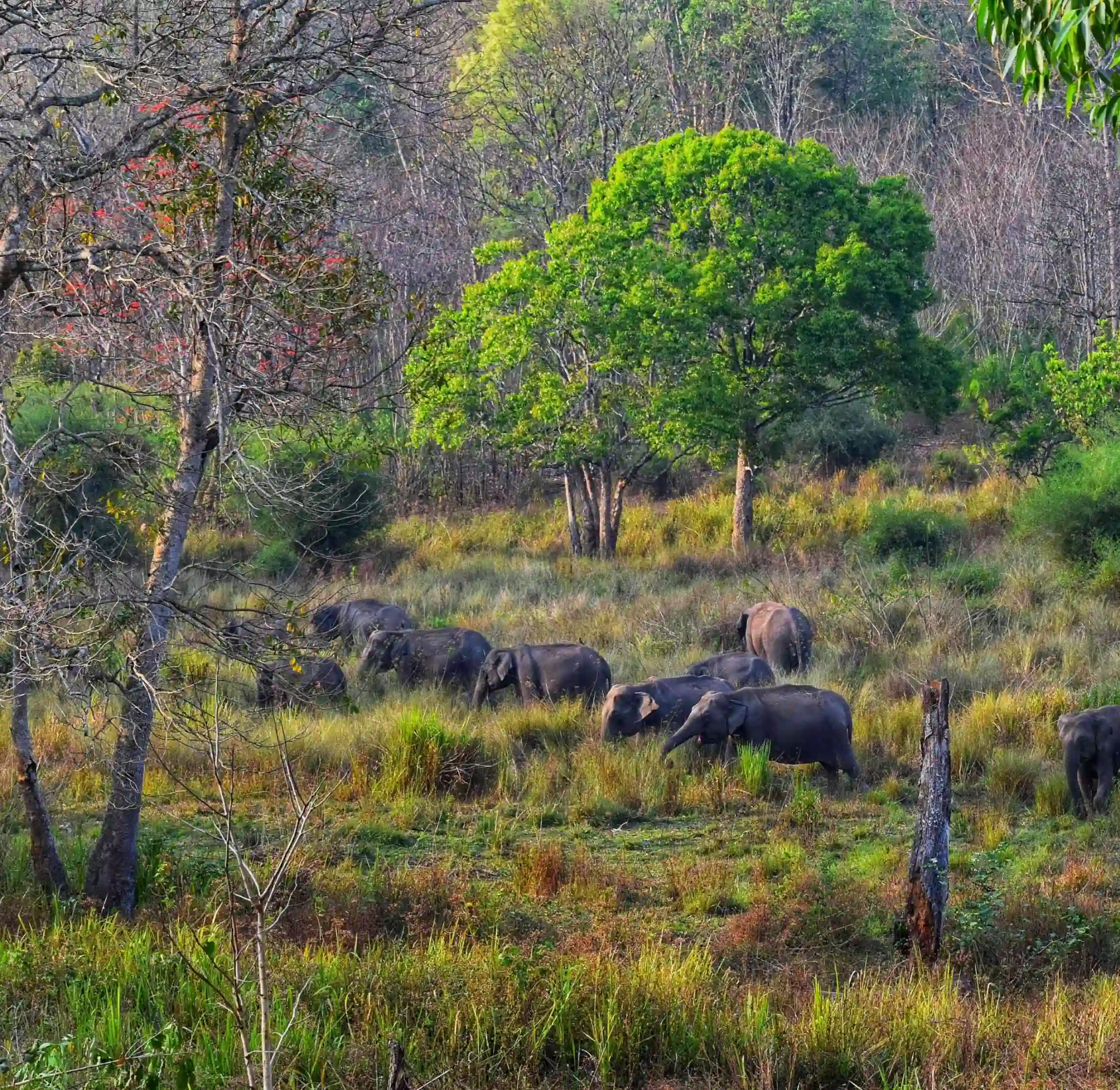
Wayanad Wildlife Sanctuary
Part of the ecologically significant Nilgiri Biosphere Reserve, the sanctuary offers opportunities to experience forest habitats and spot wildlife on authorised safaris.
Pookode Lake
A natural freshwater lake that is surrounded in the embrace of dense evergreen forests and hills, this lake offers kayaking and boating facilities.
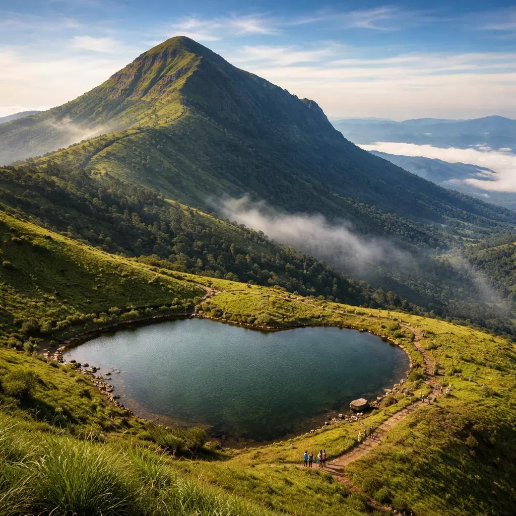
Chembra Peak
The trek to Chembra Peak takes you through picturesque tea plantations, verdant forests, and open grasslands, providing a rich and varied experience of Wayanad's natural beauty.
Kozhikode
Kozhikode, also known as Calicut, is a historic coastal city in northern Kerala celebrated for its maritime heritage, beautiful beaches, vibrant food culture and warm Malabar hospitality. Once a major centre of the spice trade and the capital of the Zamorins, the city has a rich history shaped by centuries of international trade and cultural exchange.
How to reach:
- By Air: Calicut International Airport
- By Train: Kozhikode railway Station
Top Attractions:
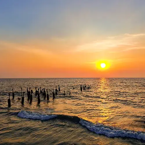
Kozhikode Beach
A favourite evening destination for sunset views, seaside walks, local snacks and the lively atmosphere of the Malabar coast.
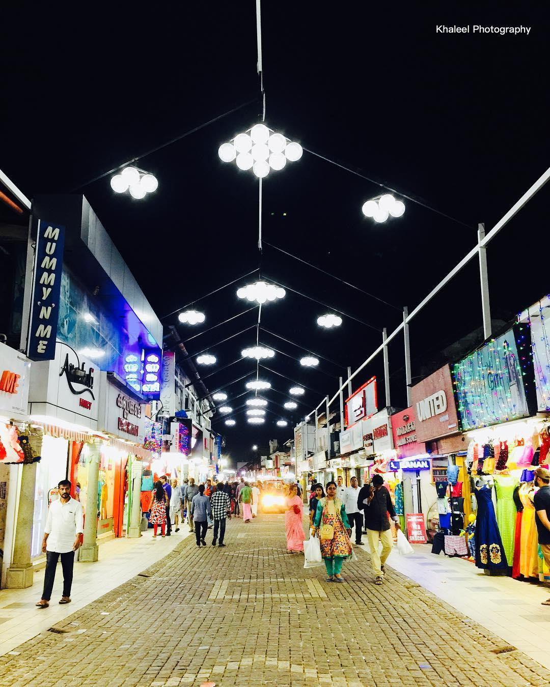
Mittai Theruv ( SM Street)
One of the city's best-known shopping streets, famous for traditional sweets, Kozhikode halwa, local snacks and bustling shops.
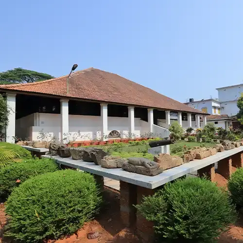
Pazhassi Raja Archaeological Museum
A museum featuring archaeological artefacts, sculptures, coins and art that offer insight into Kerala's cultural and historical past.
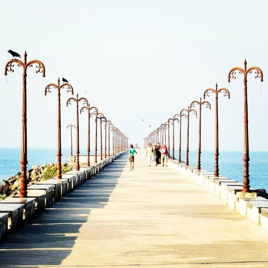
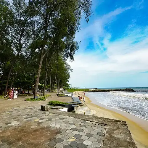
Beypore beach and Pulimuttu
Explore a historic maritime area known for traditional wooden boat-building, its fishing harbour and the long stone walkway extending into the sea.
Sarovaram Bio Park
A green urban nature destination featuring wetland habitats and mangrove landscapes, suitable for a relaxed walk and a break from the busy city. The scintillating waters of Sarovaram Lake provide an excellent opportunity for boating.

Kappad Beach
A scenic beach with major historical significance, associated with Vasco da Gama's arrival on the Malabar coast in 1498. It is a good choice for a quieter coastal outing
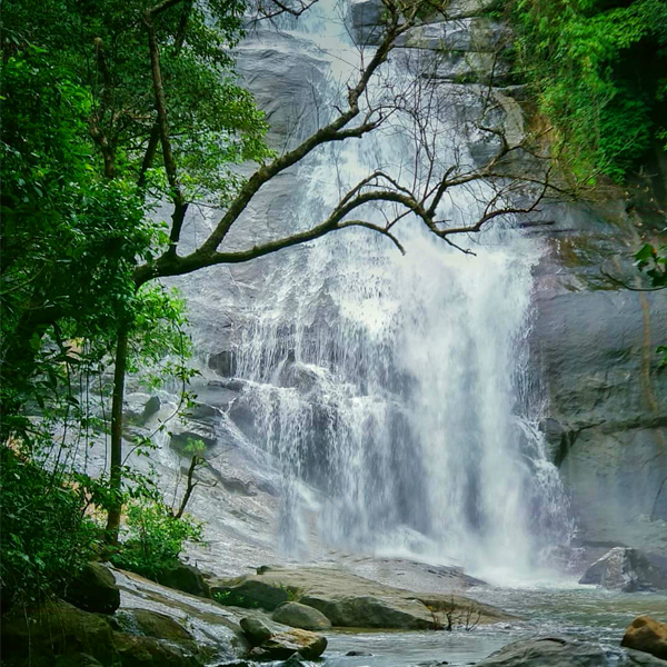
Thusharagiri waterfalls
A scenic Western Ghats destination known for its waterfalls, forest surroundings and walking trails. It is better suited to a half-day or full-day trip than a quick visit.
Ooty
Ooty, officially known as Udhagamandalam, is a popular hill station in the Nilgiri Hills of Tamil Nadu. Famous for its cool climate, rolling tea plantations, misty mountains, botanical gardens and heritage toy train, Ooty is an ideal destination for nature lovers, families and adventure enthusiasts.
The town combines colonial-era charm with scenic landscapes and distinctive local culture. Visitors can explore landscaped gardens, enjoy boating on mountain lakes, discover tea-making traditions and venture into the surrounding hills for spectacular viewpoints and waterfalls.
Recommended Duration: It is ideal to spend 2–3 days in Ooty to explore its major attractions, enjoy the scenic landscapes and experience the charm of the Nilgiri Hills at a relaxed pace.
How to reach:
- By Air: The nearest airport is Coimbatore International Airport, approximately 85–100 km from Ooty by road. From the airport, visitors can hire a taxi or take a bus connection via Coimbatore city.
- By Train: Ooty has its own railway station, Udhagamandalam (UAM). The scenic Nilgiri Mountain Railway connects Ooty with Mettupalayam Railway Station, approximately 45–47 km by road from Ooty. Travellers arriving on mainline trains can connect at Coimbatore or Mettupalayam.
-
By Road:
Mysuru: approximately 125–160 kmBengaluru: approximately 270–290 kmKozhikode: approximately 180–190 km
Top Attractions:
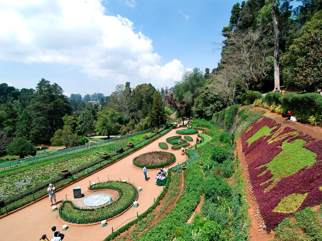
Government Botanical Garden
A historic botanical garden featuring terraced lawns, colourful flower beds, glasshouses and rare plant species.
Ooty Lake and Boat House
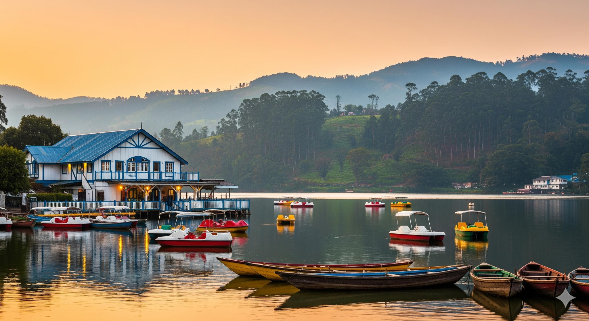
One of Ooty's signature attractions, offering boating, lakeside views and recreational activities. It is an easy addition to a short sightseeing trip.
Doddabetta Peak
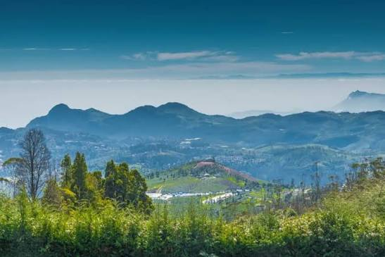
The highest peak in the Nilgiris, offering sweeping views of surrounding mountain ranges, forested slopes and valleys.
Tea factory and tea museum
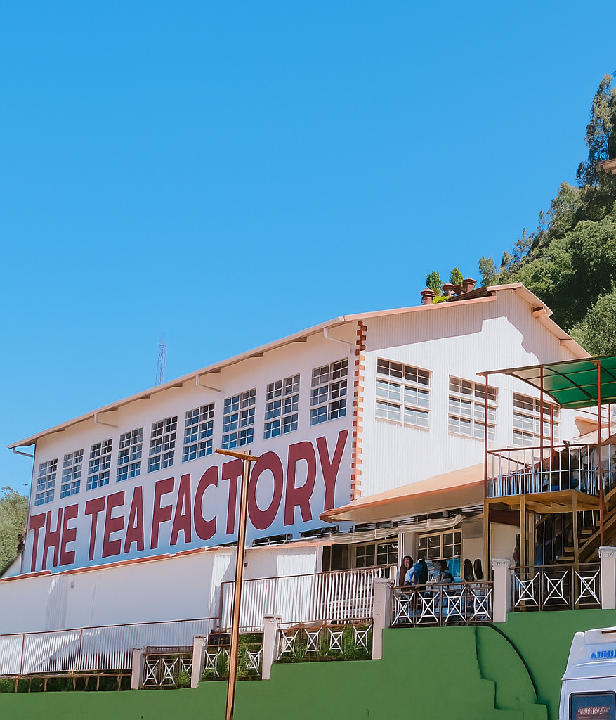
Discover the region's tea-making heritage, see displays explaining tea production and sample or purchase locally produced Nilgiri tea.
Pine Forest
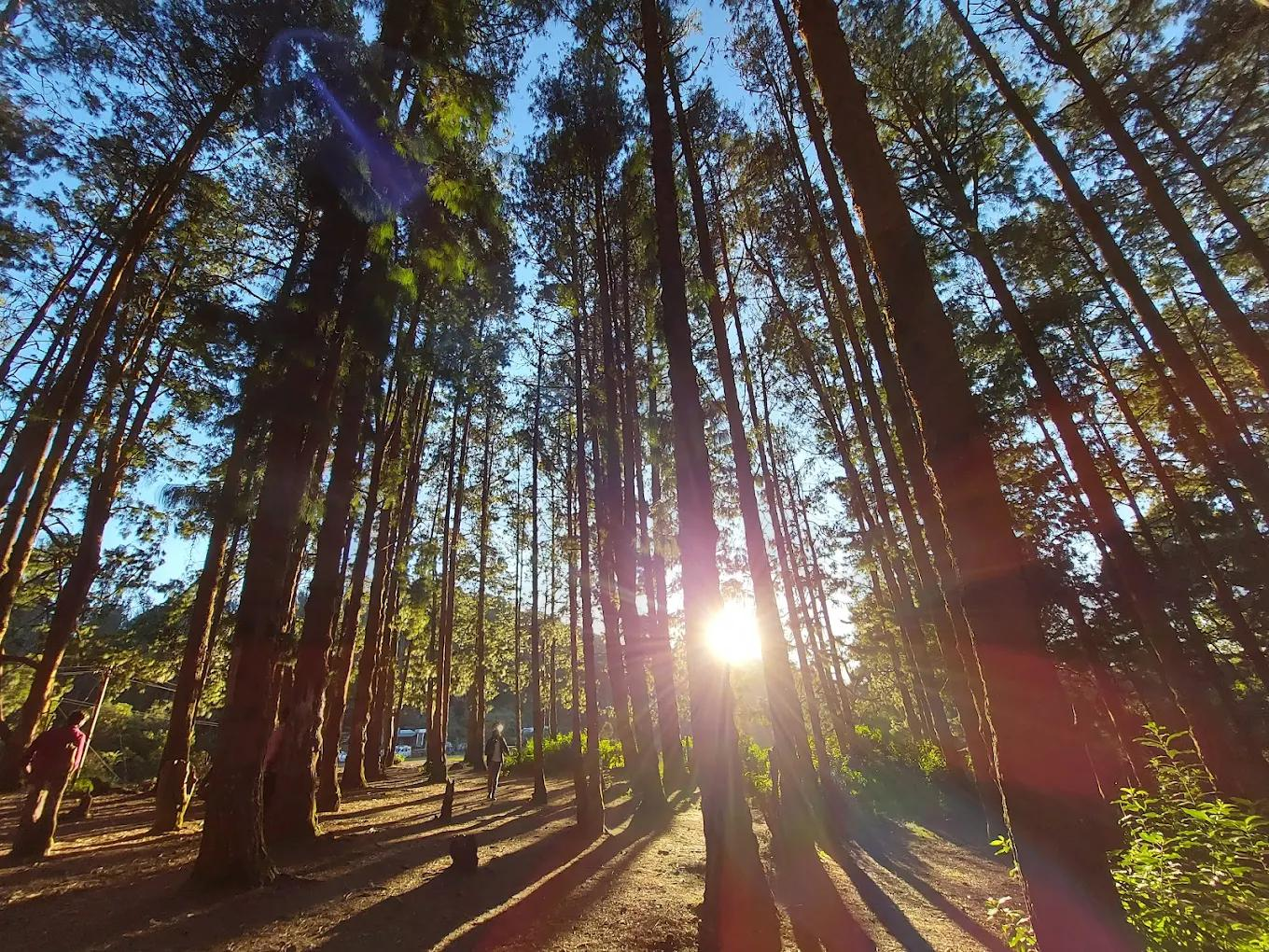
A scenic stretch of tall pine trees that creates a distinctive woodland landscape, popular with photographers and visitors looking for a peaceful outdoor stop.
Pykara Lake
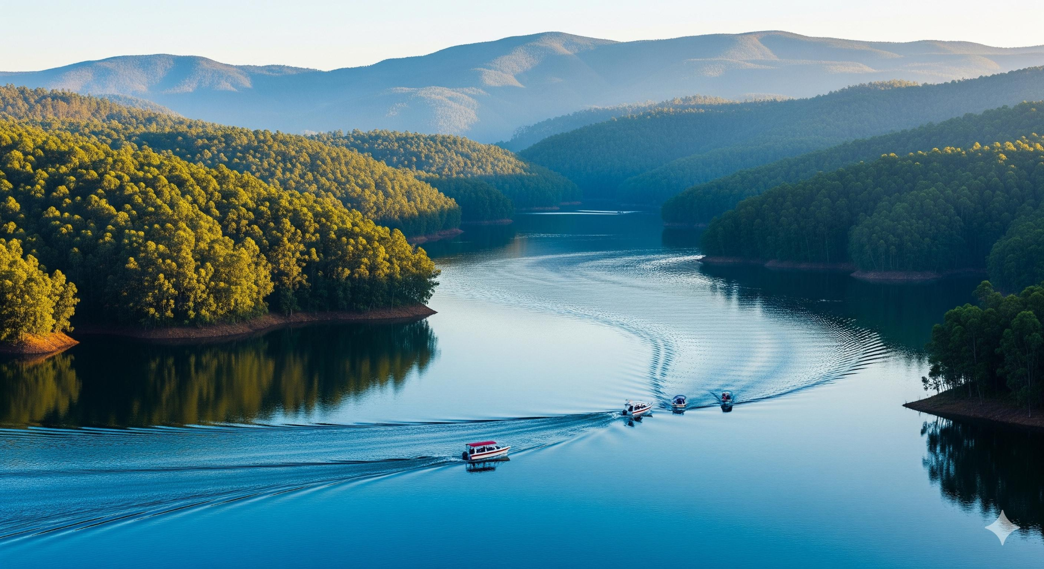
Surrounded by forested hills, Pykara Lake is a popular destination for boating and enjoying the quiet scenery of the Nilgiris. It is often combined with nearby waterfalls and grasslands.
Nilgiri Mountain Railway
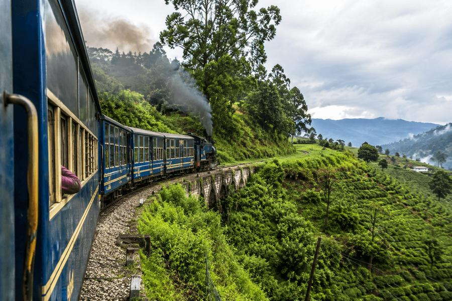
A UNESCO-listed mountain railway experience featuring a heritage train, winding tracks, tunnels and picturesque views of the Nilgiris.
Kannur
Kannur is a coastal destination in northern Kerala known for its beautiful beaches, historic forts, traditional handloom industry and vibrant cultural heritage. Often associated with the ancient Malabar Coast, Kannur offers a blend of seaside relaxation, historical exploration and distinctive North Kerala traditions.
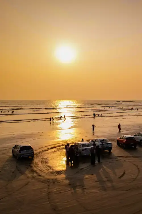
From the famous drive-in beach at Muzhappilangad to the historic St. Angelo Fort and the cultural traditions of Theyyam, Kannur has something for nature lovers, history enthusiasts and cultural explorers.
How to reach:
- By Air: Kannur International Airport; approx 19 km from central Kannur
- By Train: Kannur railway station: situated right in city centre.
- By Road: NH 66 runs straight through Kannur
Top Attractions:
Payyambalam Beach
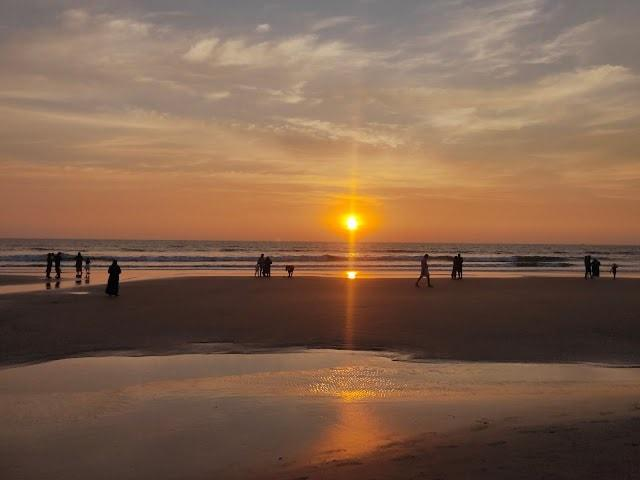
A popular city beach with a long sandy shoreline, landscaped surroundings and beautiful sunset views. It is an easy choice for an evening stroll or a relaxed seaside visit.
St. Angelo Fort
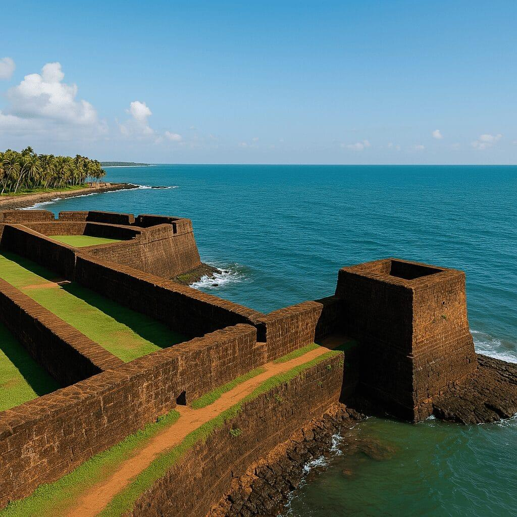
A historic coastal fort built by the Portuguese in 1505, offering impressive laterite architecture, sea views and a glimpse into Kannur's colonial maritime history.
Muzhappilangad Drive-In-Beach
Famous for its long stretch of firm sand, Muzhappilangad is one of Kerala's signature coastal attractions. Visitors can enjoy the shoreline, coastal scenery and selected beach activities when available.
Madayipara
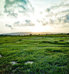
A distinctive laterite hill plateau known for seasonal wildflowers, open landscapes and expansive views. The scenery changes considerably throughout the year, making it appealing to nature lovers and photographers.
Mangrove Kayaking
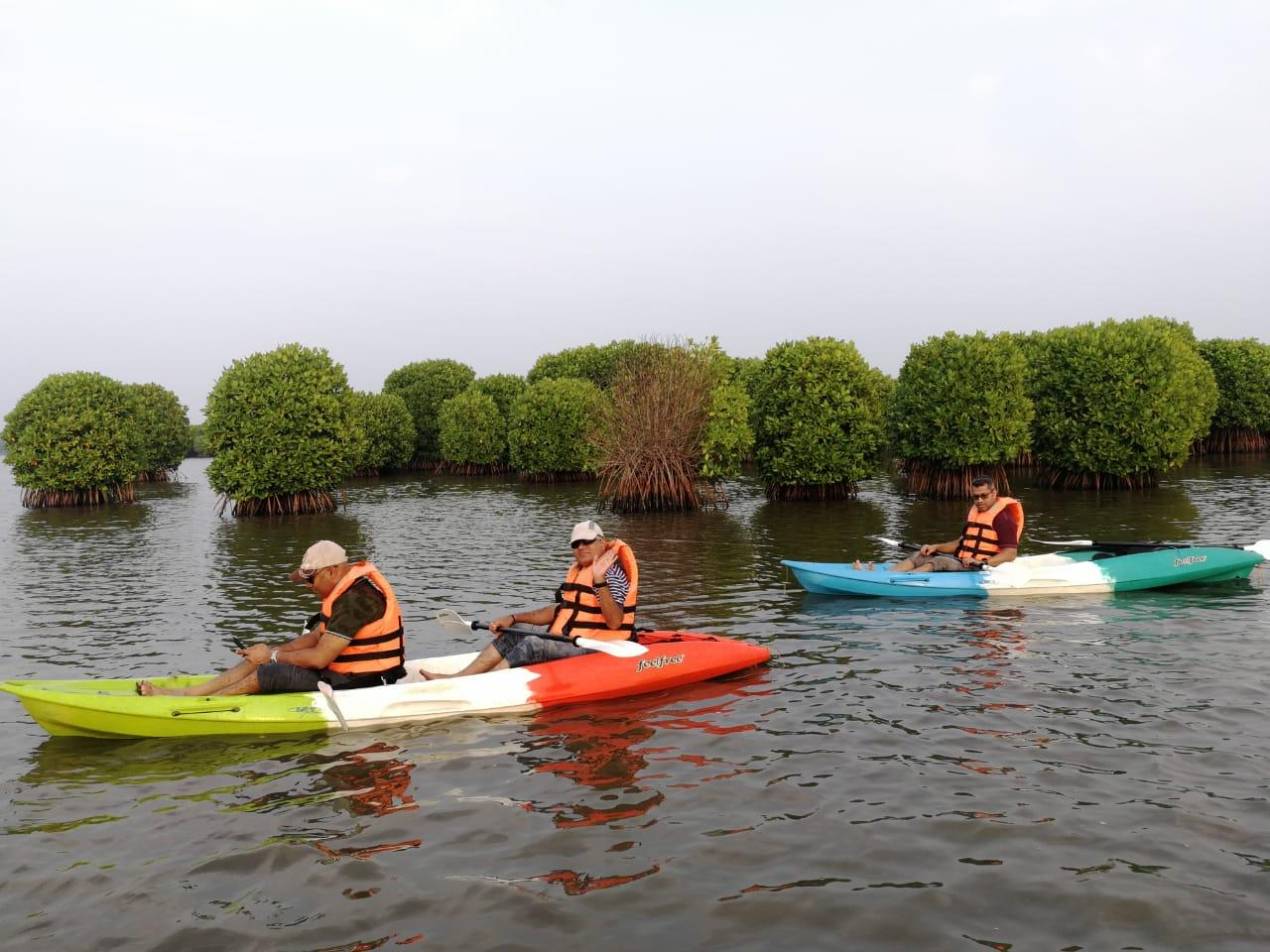
Paddle through peaceful waterways lined with mangroves and coconut trees while experiencing Kannur's rich wetland ecosystem at Kattampally Kayaking Centre or Dharmadam Kayaking area.
Kasaragod
Kasaragod, Kerala's northernmost district, is known for its majestic coastal forts, tranquil beaches, scenic backwaters, green hills and diverse cultural traditions. The district reflects a unique blend of Malayalam, Tulu and Kannada influences, creating a distinctive regional identity.
From the imposing walls of Bekal Fort overlooking the Arabian Sea to the peaceful backwaters of Valiyaparamba and the rolling grasslands of Ranipuram, Kasaragod offers a wonderful mix of history, nature and relaxation. It is an appealing destination for travellers looking to explore a quieter and less urbanised side of Kerala.
How to reach:
- Nearest Airport: Mangalore International Airport; Approx: 50km
- Nearest Railway Station: Kasaragod Railway Station
- By Road: National Highway 66
Top Attractions:
Bekal Fort
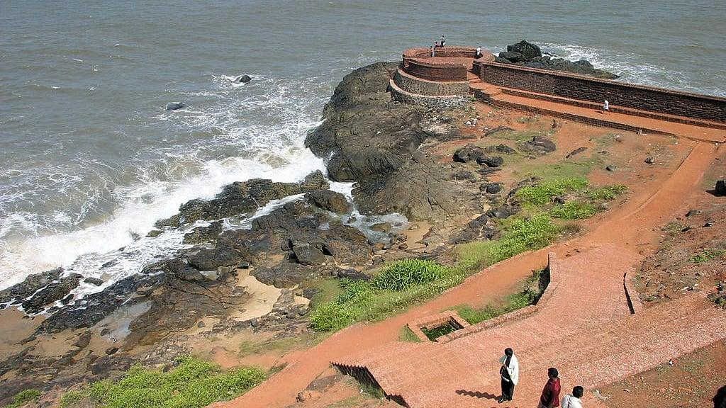
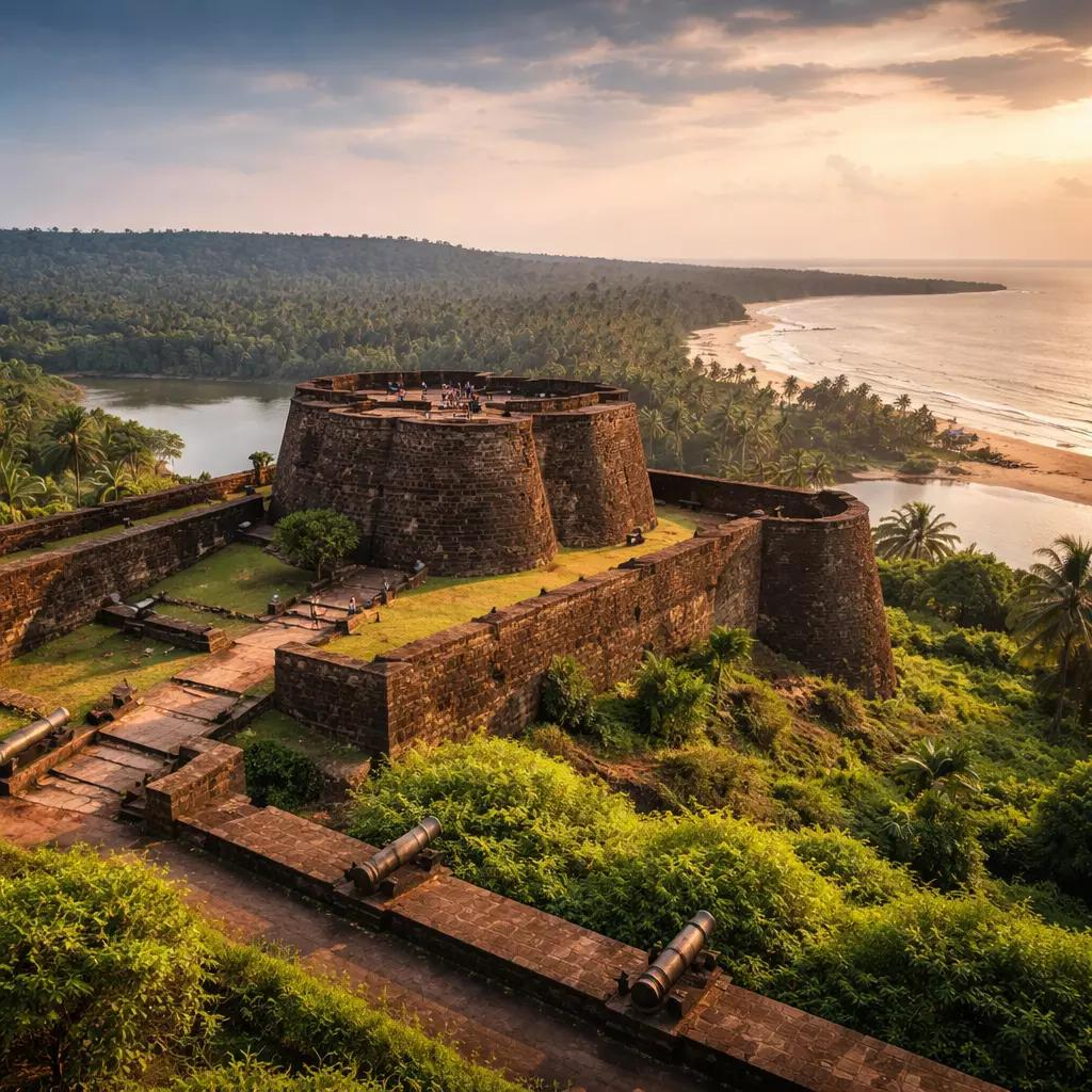
One of Kerala's largest and best-preserved forts, Bekal Fort is famous for its distinctive keyhole-shaped structure, laterite walls and panoramic views of the Arabian Sea.
Bekal Beach
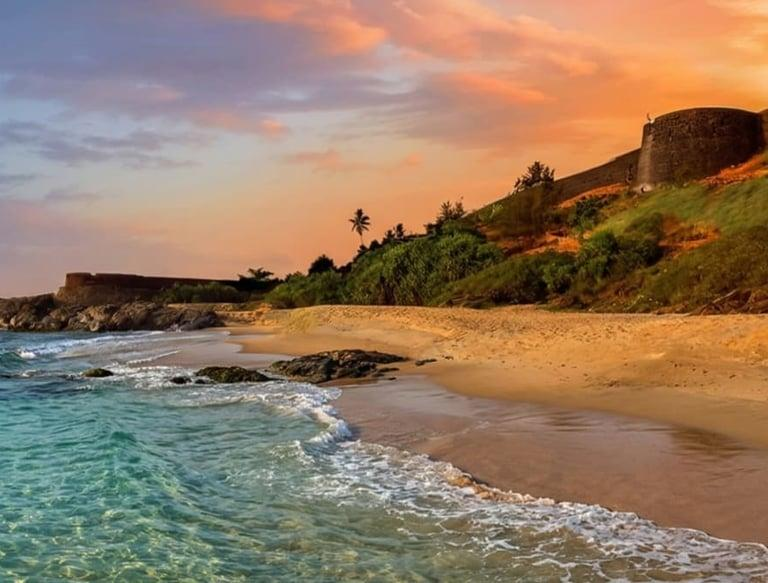
A scenic beach near Bekal Fort, ideal for coastal walks, sea views and relaxing by the Arabian Sea. The combination of the fort and beach makes this one of the district's most convenient sightseeing stops.
Chandragiri Fort
A historic fort built during the 17th century, situated on a hill overlooking the Chandragiri River and its estuary. It is a popular place to appreciate the area's history and scenic surroundings.
Valiyaparamba Backwaters
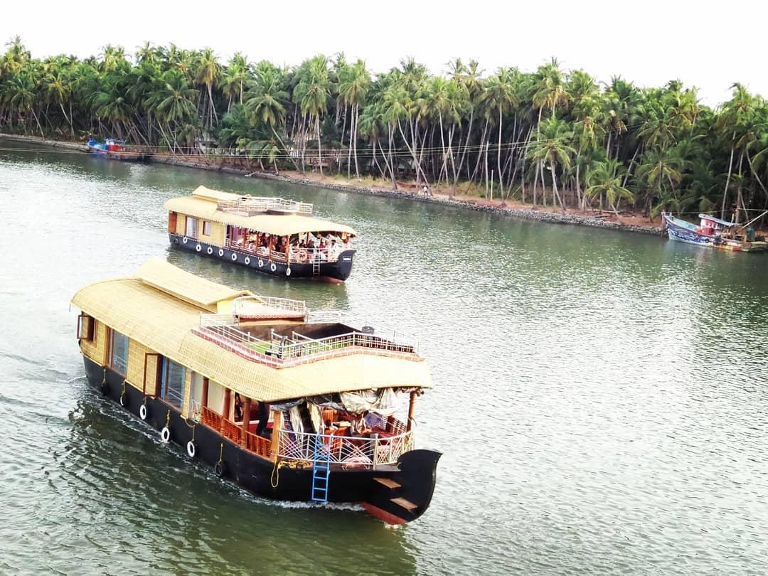
A beautiful network of backwaters, islands and palm-lined waterways, offering a quieter alternative to Kerala's more widely known backwater destinations. Boat trips can provide a memorable way to experience the local landscape.
Ranipuram Hills
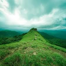
Known for rolling grasslands, forest patches, misty slopes and trekking opportunities, Ranipuram is one of Kasaragod's most scenic highland destinations. It is best suited to a full-day excursion.
Kochi
Kochi, popularly known as Cochin, is a vibrant coastal city in Kerala, located in the Ernakulam district. Famous for its rich history, multicultural heritage, scenic waterfronts, and modern urban life, Kochi was once an important centre for international spice trade.
From the historic streets of Fort Kochi and the magnificent Mattancherry Palace to the colourful markets of Jew Town and the scenic waterfront of Marine Drive, Kochi offers a fascinating blend of history, culture, architecture, and modern city life.
How to reach:
- Nearest Airport: Cochin International Airport; Approx: 30km from central Kochi
- Nearest Railway Station: Ernakulam Junction railway station
- By Road: National Highway 66
Top Attractions:
Fort Kochi
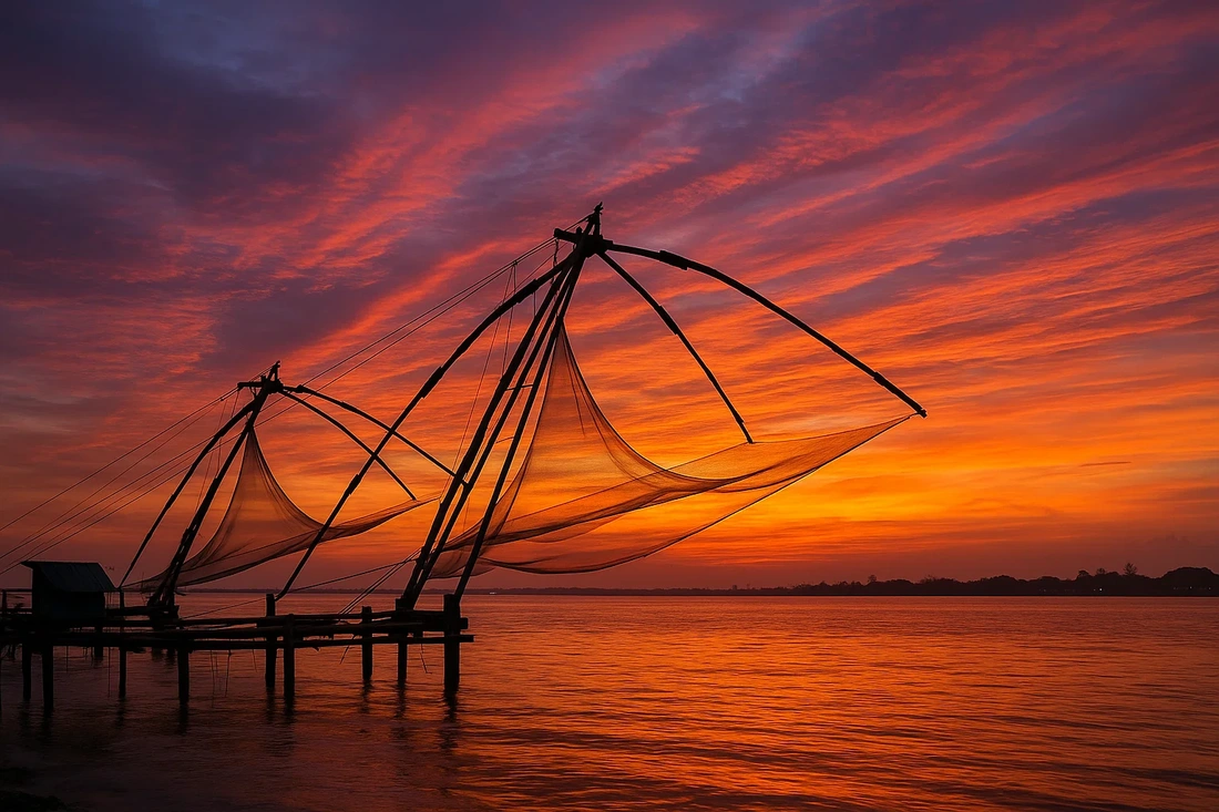
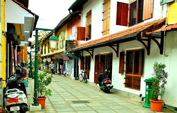
A historic coastal neighbourhood known for its colonial buildings, art cafés, heritage streets, and iconic Chinese fishing nets. It is especially popular for photography and leisurely walks.
Mattancherry Palace
Also called the Dutch Palace, this historic palace is renowned for its traditional Kerala murals, royal portraits, and exhibits depicting the history of the Cochin royal family.
Jew Town
Jew Town is a historic neighbourhood famous for its antique shops, spice markets, handicrafts, and traditional buildings. Its narrow streets reflect the area's rich trading history and multicultural heritage.
Paradesi Synagogue
Established in 1568, the synagogue is an important landmark reflecting Kochi's Jewish heritage, known for hand-painted Chinese porcelain tiles and Belgian glass chandeliers.
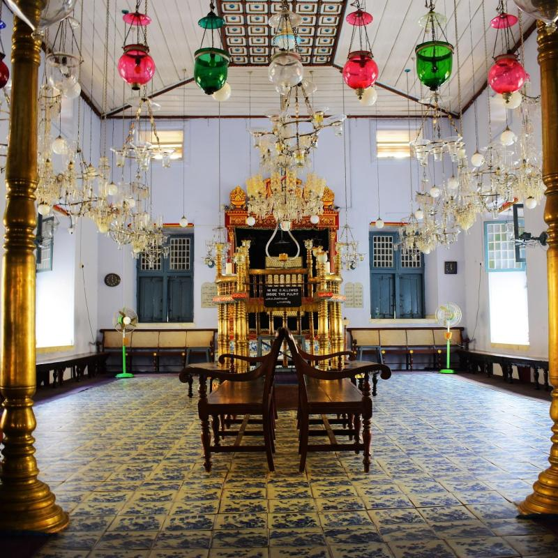
Marine Drive
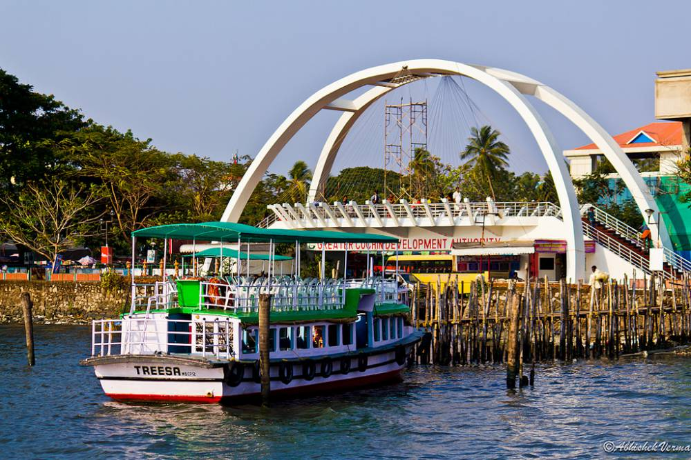
A scenic waterfront promenade offering beautiful views of the backwaters, passing boats, and city skyline. It is a popular place for evening walks and sunset views.
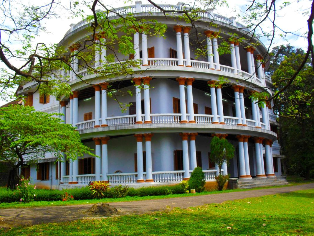
Hill Palace Museum
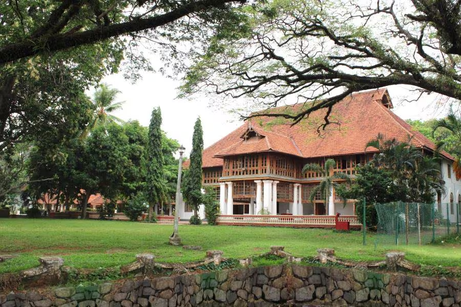
A former royal residence surrounded by landscaped grounds, now serving as a museum displaying royal artefacts, paintings, sculptures, and historical collections.
Alappuzha
Alappuzha, popularly known as Alleppey, is one of Kerala's most famous destinations for backwater tourism. Known for its peaceful canals, traditional houseboats, coconut palms, and beautiful waterways, the city offers visitors a relaxing experience surrounded by nature. Its beaches, local villages, and traditional lifestyle make it a wonderful destination for experiencing Kerala's natural beauty.
From the tranquil backwaters and traditional houseboat cruises to the sandy shores of Alappuzha Beach and the scenic beauty of Pathiramanal Island, Alappuzha offers a memorable experience for nature lovers, photography enthusiasts, and travellers seeking relaxation.
How to reach:
- Nearest Airport: Cochin International Airport, approximately 85 km from Alappuzha
- Nearest Railway Station: Alappuzha railway station
- By Road: Travel via National Highway 66 towards Alappuzha
Top Attractions:
Alappuzha Backwaters
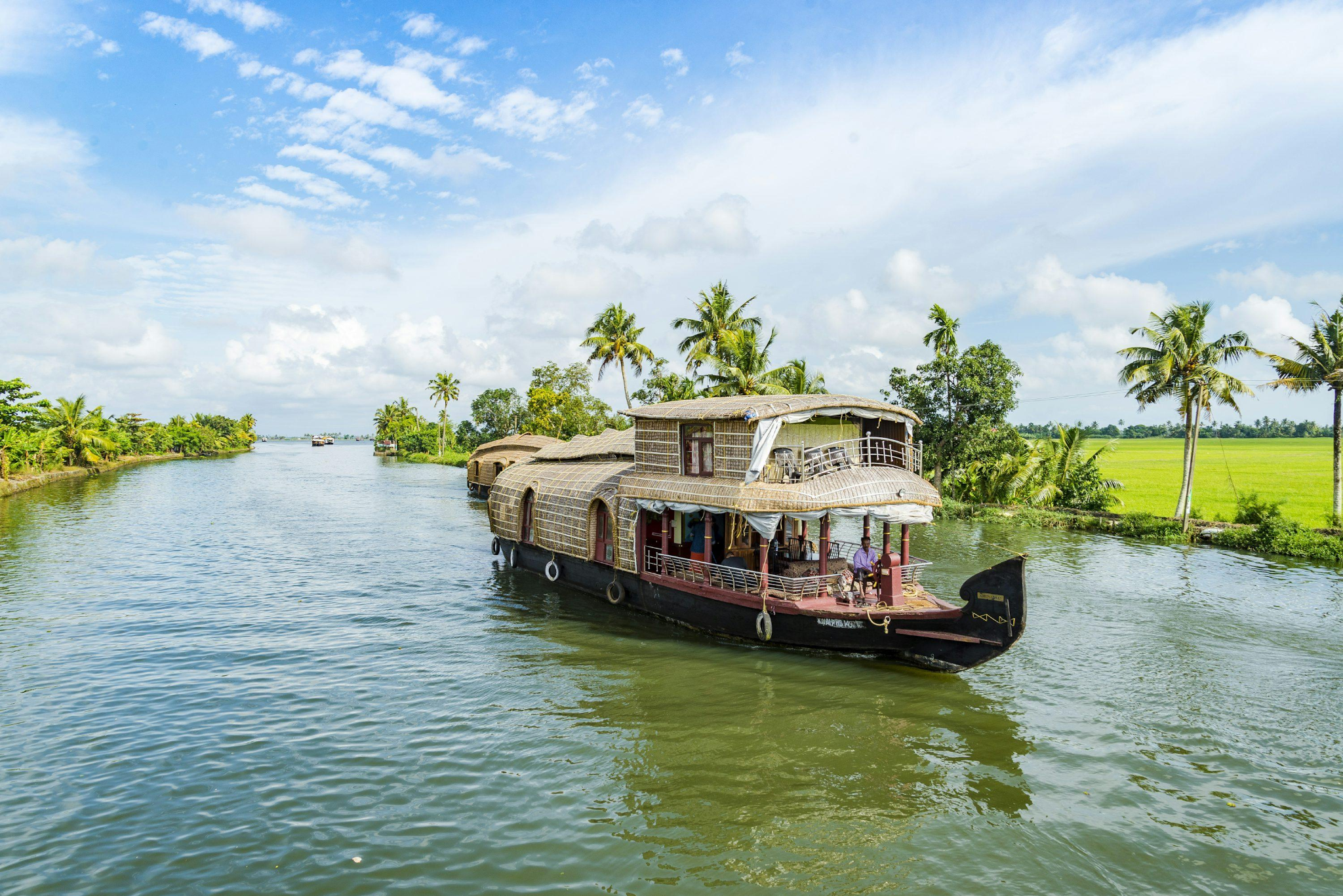
A network of canals, lakes, and lagoons surrounded by green landscapes and village settlements. Traditional houseboats allow visitors to cruise through the waterways while observing village life, local fishing activities, and scenic landscapes. The backwaters are one of Kerala's most famous attractions and offer a peaceful experience close to nature.
Kuttanad
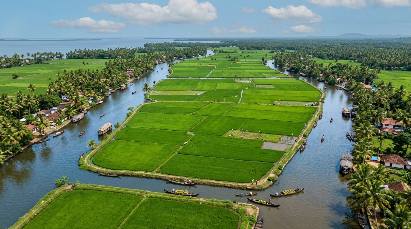
Kuttanad, popularly known as the Rice Bowl of Kerala, is a unique region famous for its vast paddy fields and distinctive farming practices below sea level. Visitors can enjoy scenic boat rides, observe traditional farming methods, and experience the peaceful village life that makes Kuttanad a special part of Kerala's natural and cultural heritage.
Alappuzha Beach
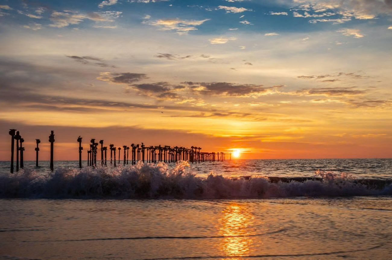
Alappuzha Beach is a popular coastal destination known for its sandy shoreline, beautiful sunsets, and historic pier extending into the sea. The beach attracts visitors looking to relax, enjoy seaside walks, and experience the coastal atmosphere. Its open views of the Arabian Sea make it an excellent place for photography and evening outings.
Alappuzha Lighthouse
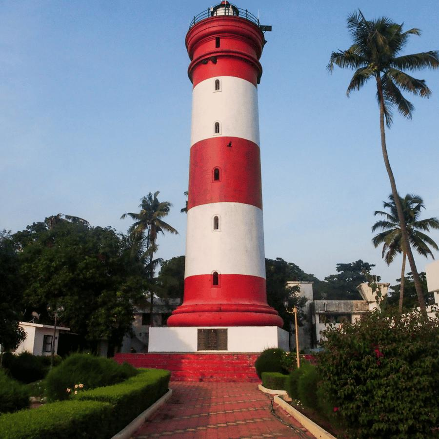
The Alappuzha Lighthouse is a historic maritime landmark that has guided ships along Kerala's coast for generations. Its distinctive tower reflects the city's importance as a former trading and port centre. The elevated viewpoint offers scenic views of the surrounding coastline and city.
Pathiramanal Island
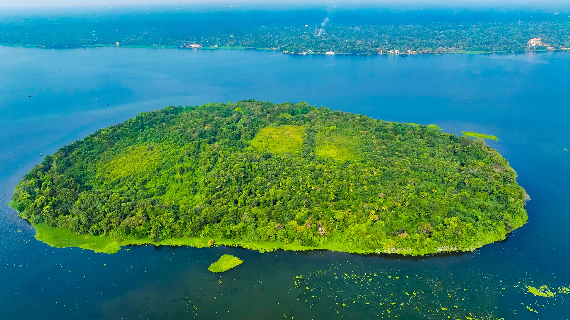
Pathiramanal is a small, picturesque island located in Vembanad Lake, surrounded by greenery and tranquil waterways. It is known for its birdlife and is particularly appealing to birdwatchers and nature enthusiasts. The island is generally reached by boat, making the journey itself an enjoyable part of the visit.
Krishnapuram Palace
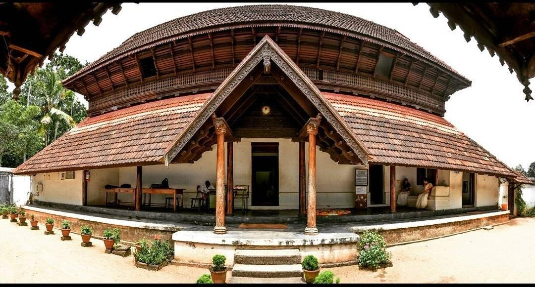
Krishnapuram Palace is a traditional Kerala-style palace located near Kayamkulam, known for its sloping tiled roofs, wooden architecture, and historical significance. The palace museum also displays historical objects that provide insights into the region's royal and cultural heritage.
Thiruvananthapuram
Thiruvananthapuram, also known as Trivandrum, is the capital of Kerala and a destination rich in cultural heritage, spiritual landmarks, museums, and natural attractions. The city combines historic temples and palaces with scenic beaches, green hills, and modern urban development. It is an excellent destination for visitors interested in Kerala's history, architecture, culture, and coastal scenery.
From the magnificent Sree Padmanabhaswamy Temple and the historic Kuthiramalika Palace to the golden sands of Kovalam Beach, the misty hills of Ponmudi, and Varkala cliff, Thiruvananthapuram offers a captivating combination of spiritual heritage, history, coastal beauty, and nature.
How to reach:
- Nearest Airport: Thiruvananthapuram International Airport, approximately 6 km
- Nearest Railway Station: Thiruvananthapuram Central Railway Station
- By Road: National Highway 66
Top Attractions:
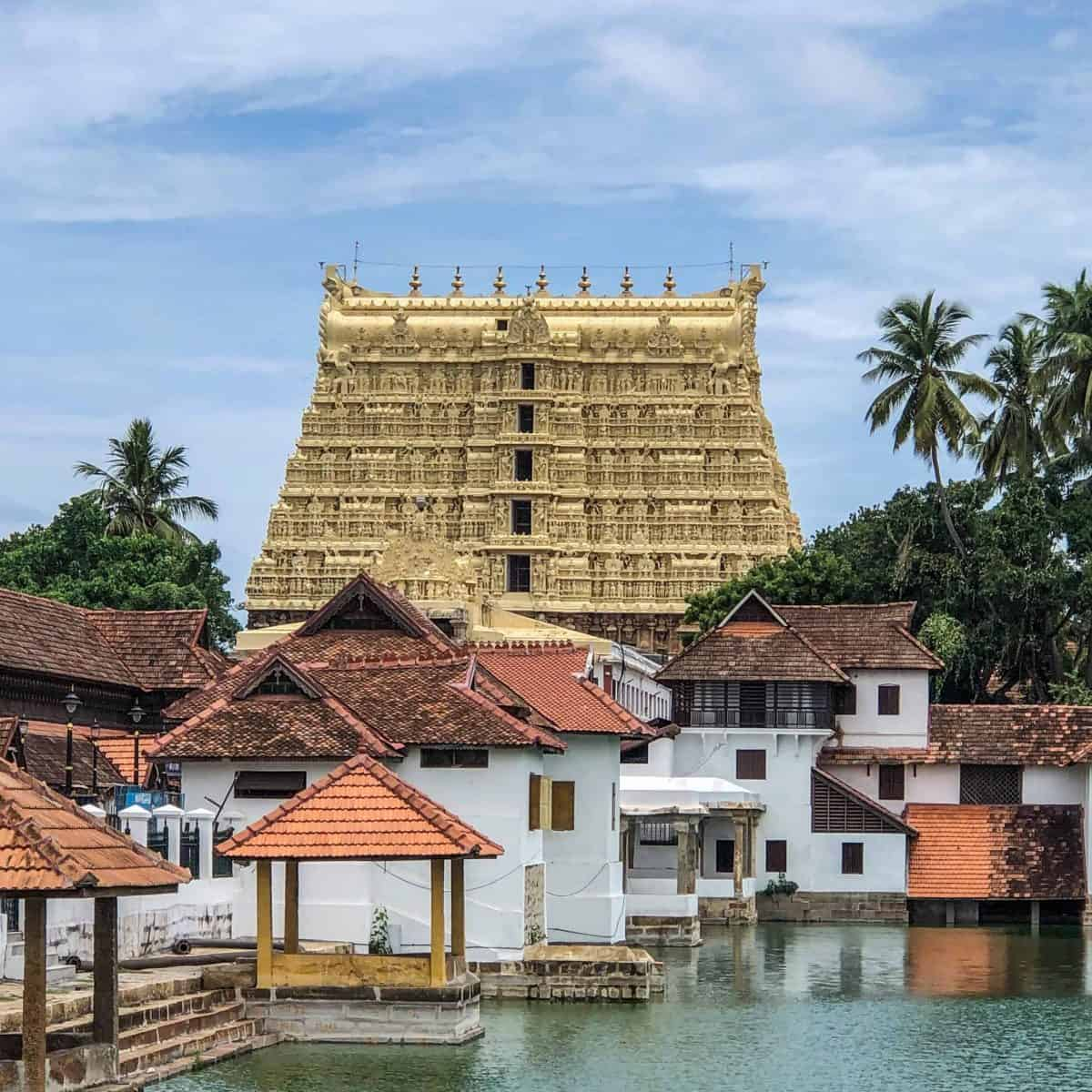
Sree Padmanabhaswamy Temple
One of India's most renowned Hindu temples, dedicated to Lord Vishnu. It is famous for its towering gopuram, impressive Dravidian-style architecture, intricate stonework, and religious significance.
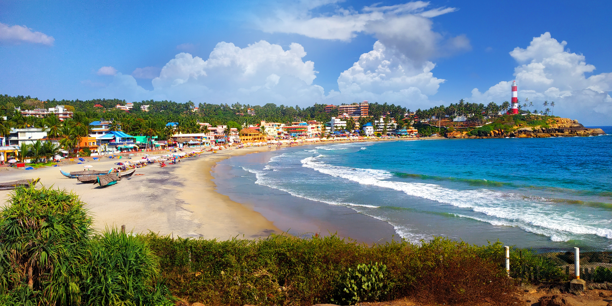
Kovalam Beach
A famous coastal destination known for its crescent-shaped beaches, palm-lined shores, and lighthouse views. Visitors enjoy the seaside atmosphere, local cafés, and scenic sunsets.
Vizhinjam Lighthouse
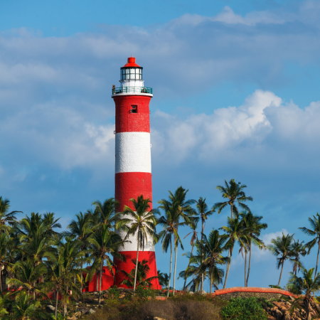
Vizhinjam Lighthouse is a famous coastal landmark near Kovalam, known for its distinctive red-and-white striped tower. It offers beautiful panoramic views of the Arabian Sea and the surrounding coastline, making it a popular spot for sightseeing and photography.
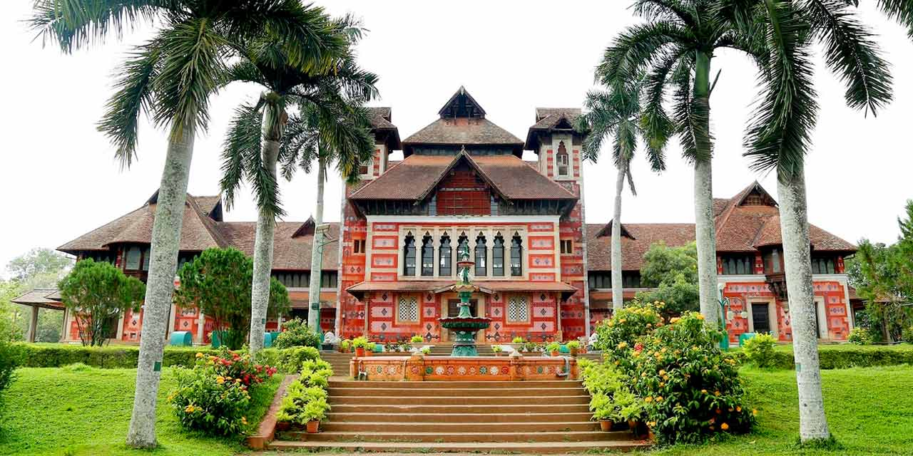
Napier Museum
A distinctive museum showcasing historical artefacts, sculptures, traditional ornaments, and art collections. Its striking architectural design makes it a notable city landmark.
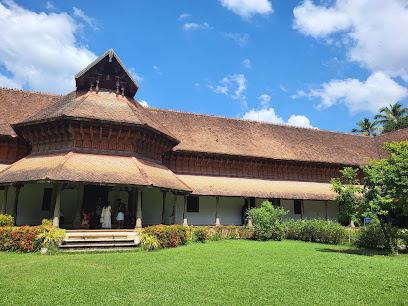
Kuthiramalika Palace Museum
A historic palace associated with the Travancore royal family, famous for its carved wooden horses, traditional architecture, royal artefacts, and cultural exhibits. The palace displays royal artefacts, paintings, and historical exhibits that highlight the artistic and cultural achievements of the Travancore kingdom.
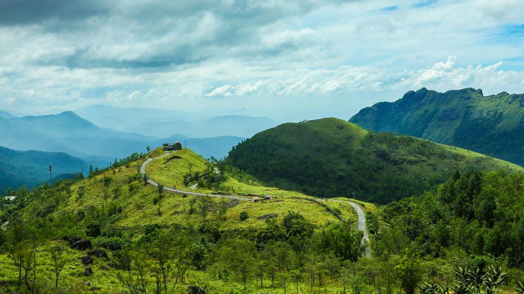
Ponmudi Hill Station
Ponmudi is a scenic hill station located in the Western Ghats, known for its mist-covered hills, lush forests, and winding mountain roads. It is an excellent destination for nature photography, short hikes where permitted, and peaceful escapes from the city.
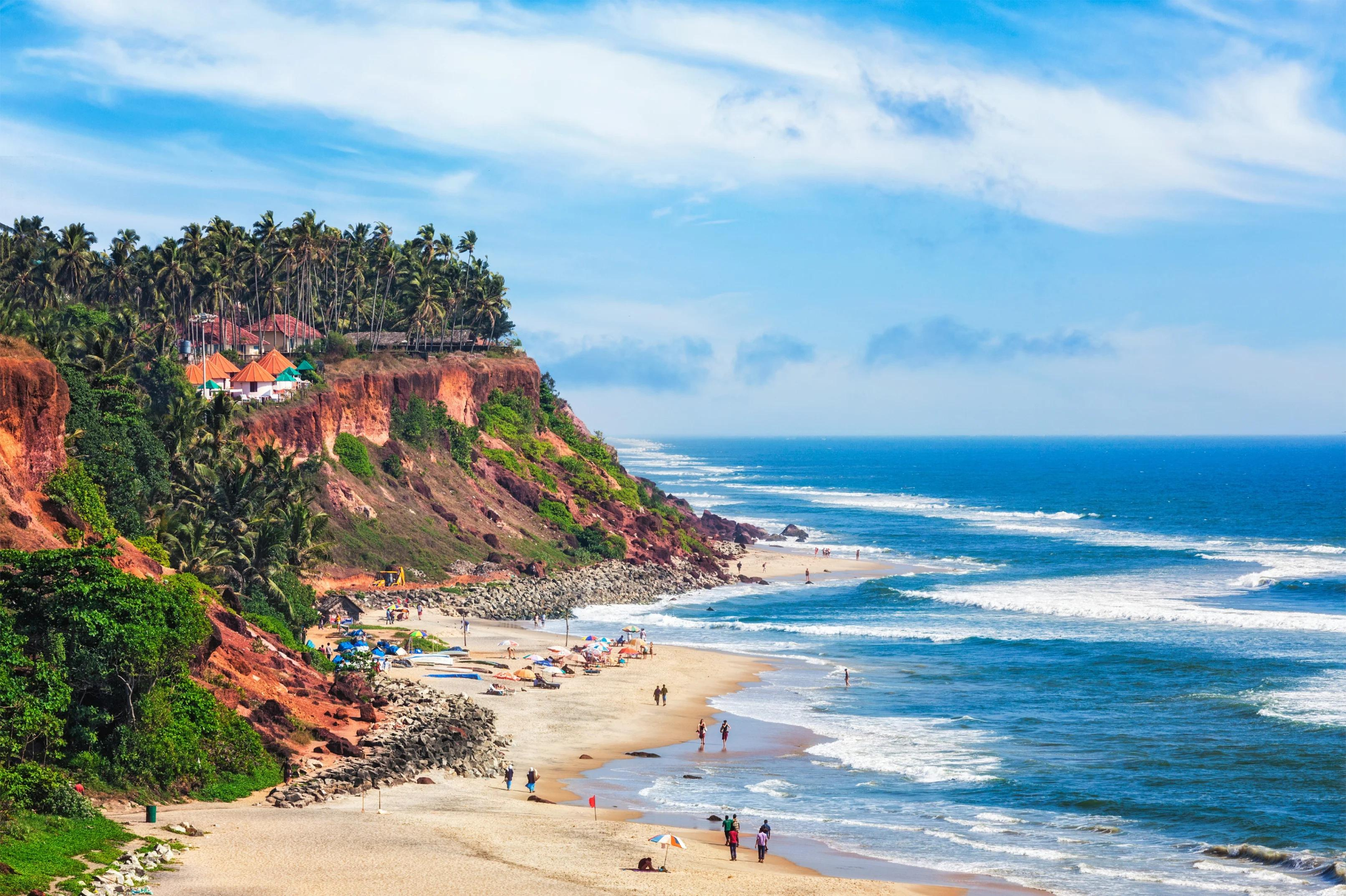
Varkala Beach
Varkala is a beautiful coastal destination in Kerala, famous for its dramatic cliffs overlooking the Arabian Sea and its golden sandy beach. Varkala Cliff features scenic walking paths, cafés, restaurants, and small shops offering stunning ocean views. Visitors can enjoy breathtaking sunsets, relax by the beach, and explore the area's atmosphere.
Mysuru
Mysuru, formerly known as Mysore, is a historic city in Karnataka renowned for its royal heritage, magnificent palaces, traditional arts, and vibrant cultural celebrations. Once the capital of the Kingdom of Mysore, the city is famous for its architectural landmarks, silk, sandalwood products, and the spectacular Mysuru Dasara festival. It is an excellent destination for exploring India's royal history and cultural traditions.
From the magnificent Mysore Palace and the sacred Chamundi Hills to the beautifully landscaped Brindavan Gardens, the historic St. Philomena's Church, and the vibrant celebrations of Mysuru Dasara, Mysuru offers a rich blend of royal heritage, architectural beauty, cultural traditions, and family-friendly attractions.
How to reach:
- Nearest Airport: Mysuru Airport is the closest airport to the city
- Nearest Railway Station: Mysuru Junction Railway Station
- By Road: The journey generally takes around 5–7 hours by car or bus
Top Attractions:
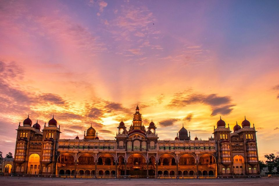
Mysore Palace
One of India's most famous royal palaces, known for its grand architecture, ornate interiors, colourful stained glass, and royal collections. It is a major symbol of Mysuru's royal heritage.
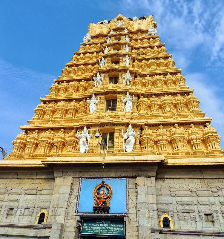
Chamundi Hills
A prominent hill overlooking Mysuru, home to the revered Chamundeshwari Temple. Visitors can enjoy panoramic city views and explore the area's religious and cultural landmarks.
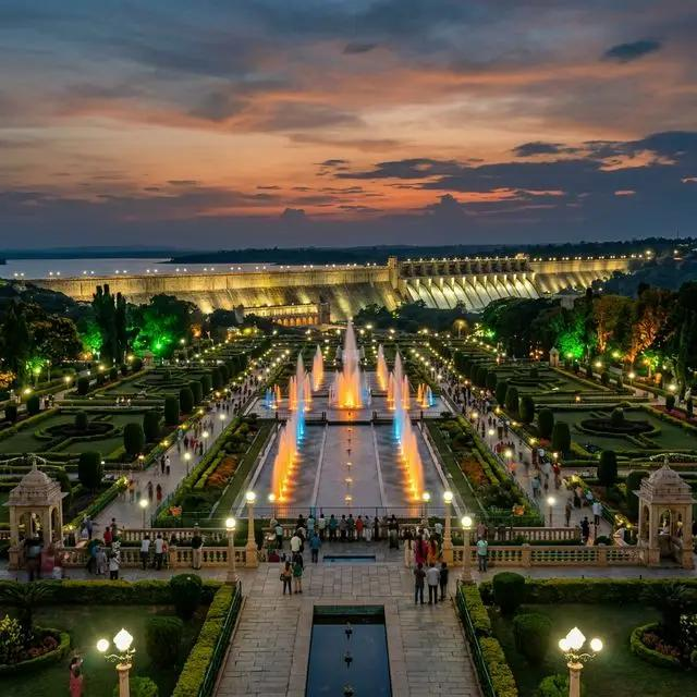
Brindavan Gardens
Located near the Krishna Raja Sagara Dam, these landscaped gardens are famous for their symmetrical design, colourful flowerbeds, and musical fountain displays on scheduled evenings.
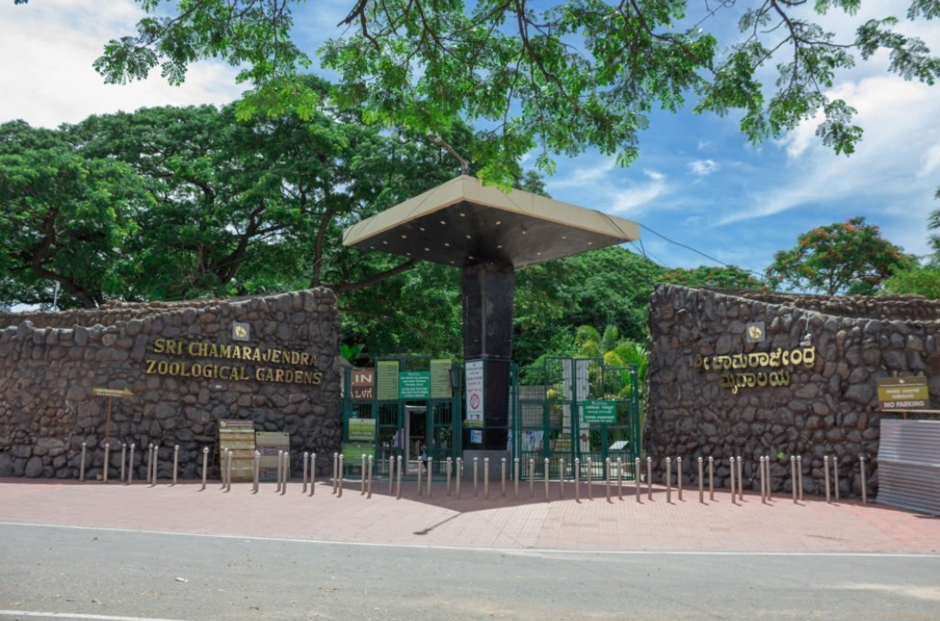
Mysuru Zoo
Officially known as Sri Chamarajendra Zoological Gardens, this historic zoo houses a variety of animal species and supports wildlife education and conservation.
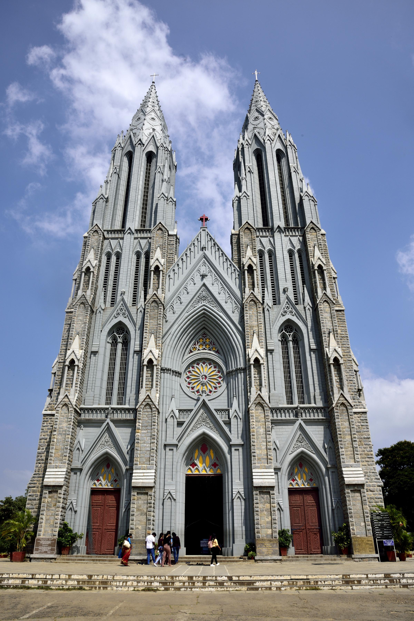
St. Philomena's Church
A striking neo-Gothic church recognised for its twin towers, stained-glass windows, and impressive architectural design. It is one of the city's best-known historical landmarks.
Coorg
Coorg, officially known as Kodagu, is a beautiful hill district in Karnataka, celebrated for its coffee plantations, mist-covered hills, lush forests, and pleasant climate. Often called the “Scotland of India,” Coorg is an ideal destination for travellers seeking natural beauty, peaceful surroundings, and outdoor adventures. Its unique Kodava culture, local cuisine, and scenic landscapes make it a memorable getaway.
From the cascading waters of Abbey Falls and the panoramic views at Raja's Seat to the coffee plantations, sacred landscapes of Talakaveri, and mist-covered hills of Mandalpatti, Coorg offers an unforgettable escape for nature lovers, adventure seekers, and those looking for a peaceful hill-station experience.
How to reach:
- Nearest Airport: Kannur International Airport and Mangalore International Airport
- Nearest Railway Station: Mysuru Junction, Kannur, and Thalassery are possible railheads
- By Road: The journey usually takes around 5–6 hours by car or bus
Top Attractions:
Abbey Falls
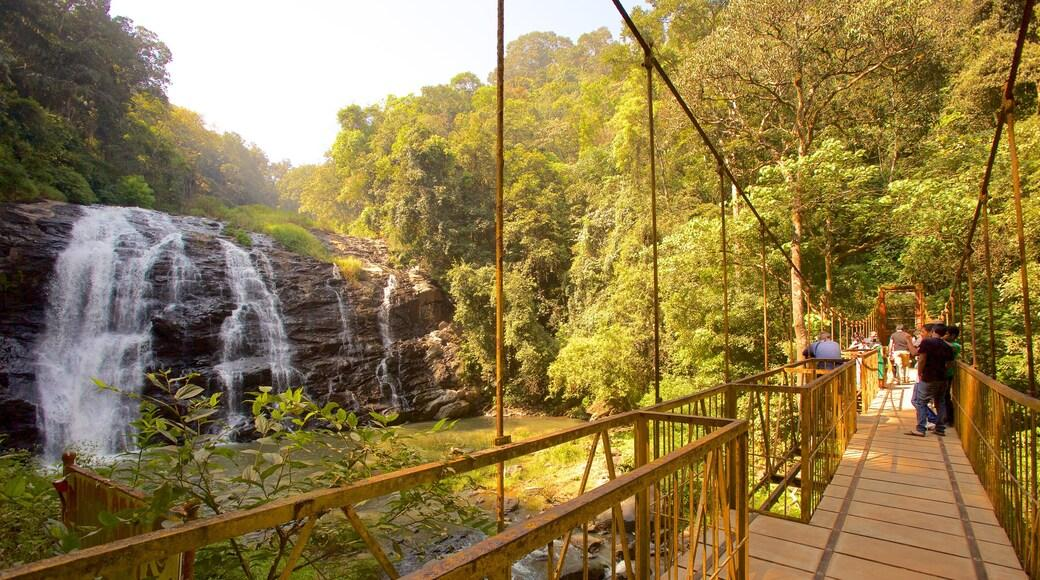
A scenic waterfall surrounded by coffee plantations and lush vegetation near Madikeri. It is a popular attraction for nature lovers and photography enthusiasts, particularly during and after the monsoon season.
Raja's Seat
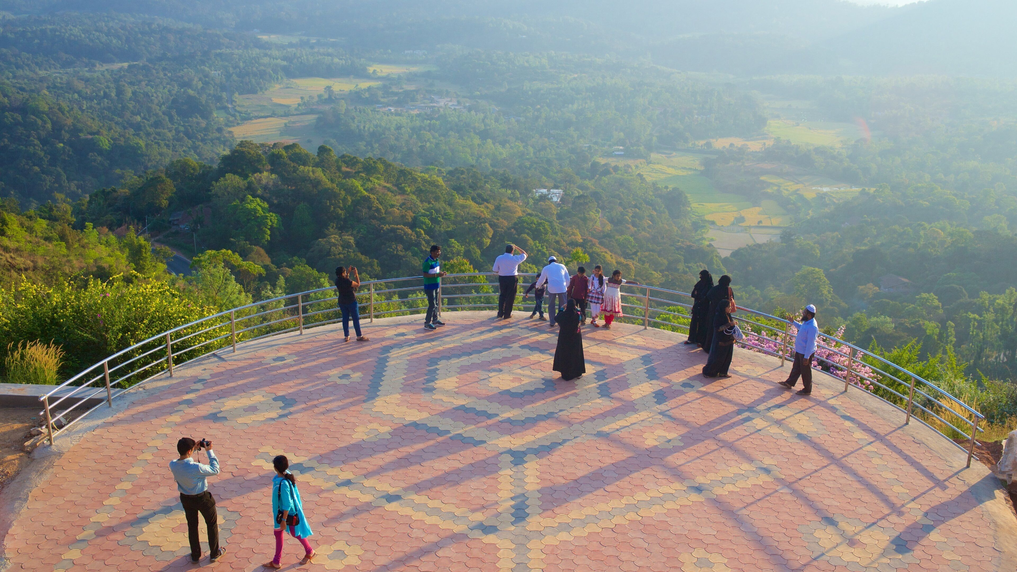
A beautiful garden viewpoint in Madikeri offering panoramic views of green valleys and distant hills. It is especially popular for sunset views and relaxing in the cool mountain air.
Talakaveri
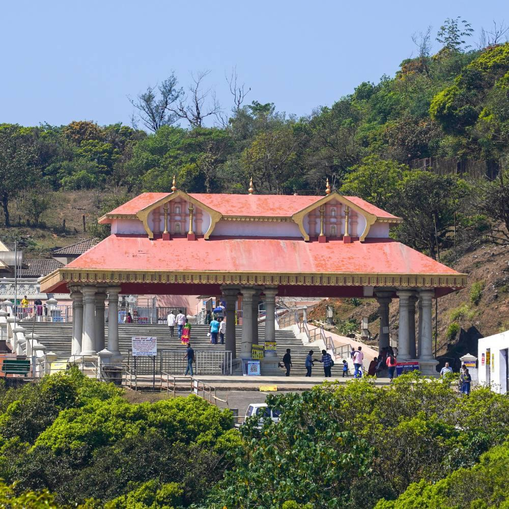
Located in the Brahmagiri hills, Talakaveri is traditionally regarded as the origin of the River Kaveri. The site is known for its religious importance, temple, and scenic mountain surroundings.
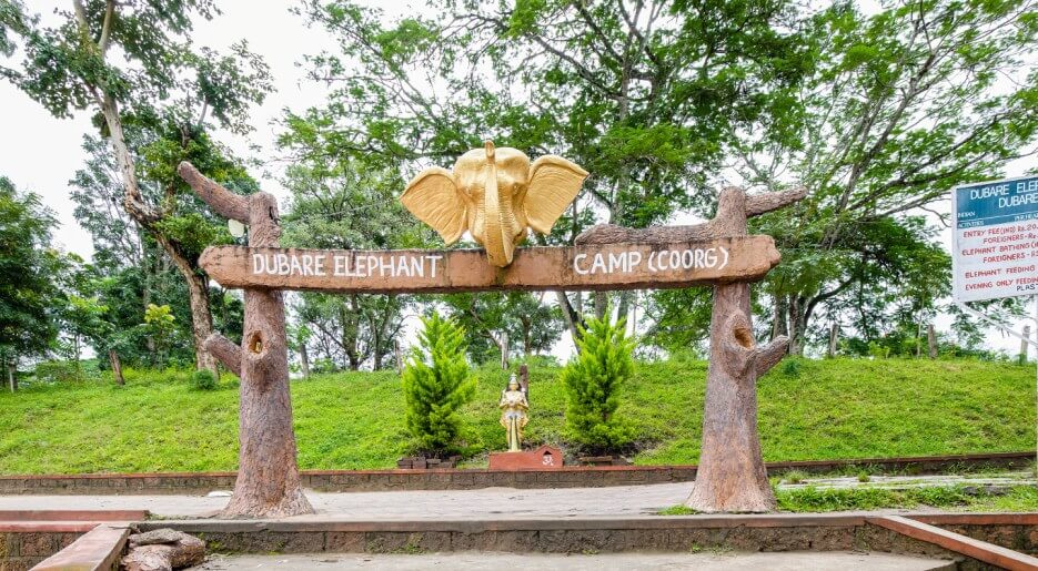
Dubare Elephant Camp
Situated along the River Kaveri, this destination is known for its elephant-related educational experiences and natural surroundings.
Mandalpatti Viewpoint
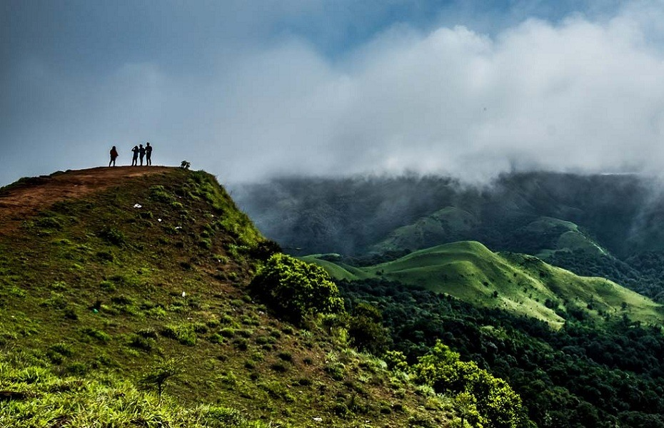
A scenic hilltop viewpoint offering sweeping views of the Western Ghats, rolling green hills, and misty landscapes. The journey is part of the experience, with access conditions depending on weather and local transport rules.